
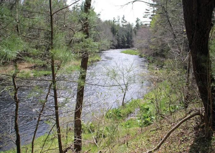
Austin T. Blakeslee Natural Area covers approximately 130 acres of protected land.
The area features 2.59 miles of walking trails.
The Creek Trail, which hugs the banks of Tobyhanna Creek, is 1.14 miles, Highland Trail is .93 miles, and Pine Trail is .52 miles.
One highlight of the park is Tobyhanna Falls, a step waterfall. The area has two parking areas, a pavilion, and standing grills.
Where: Near Blakeslee, Pa. Take Route 80 to Exit 284 – Route 115 North. After the Tobyhanna Creek bridge, parking areas are on left. Note: Two trailheads serve Austin T. Blakeslee Natural Area.
GPS coordinates 41º 4’ 59”N 75º 35’ 4” W, elevation 1,560 feet.
Trail information: Trails are blazed in red, blue and orange. Many side trails exist. Roots and rocks are common on the trails, which are wet in many places. Sturdy, appropriate footwear is essential. A walking stick is helpful.